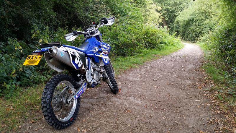
Now I have an offroad bike, I need to know where I can use it. I found this website, which seems to identify places you can ride, but I’m wondering if there’s a better way? I can’t find any phone apps for them.
Is there perhaps a Public Google Map with green lanes marked on? If not, can we make one?
Btw an os map alone isn’t sufficient as many byways are now restricted and you need to check with each council
I use Viewranger out and about, there are a number of trails shared on there, and you can load it with OS data too. Been using it for years, great app, worth every penny.
For Surrey, the Council have a map on their website. Not the most easy map to use but then again, that’s just like the countryside!
The bywaysmap.co.uk website seems quite up to date from what I remember but remember… byways get blocked depending on their condition so check signs before you enter.
You will have to do a bit of exploring, finding, trying… it’s definitely getting easier and easier but still there will always be ‘hidden’ gems. I remember the first time I was looking to go out in Surrey, I spent all evening finding the entrances on google maps one by one.
For the area you’re travelling in, learn the colour coding of the arrows as they will tell you if it is a BOAT, a bridleway etc…
Well, you’ll not be riding “off-road” if you’re on green-lanes – they are roads, public highways with vehicular rights. If you really want to ride “off-road”, you need to be on private land – usually via an organised activity like enduroland mentioned above, or Whaddon4x4 in Milton Keynes. My first ride on a dirt bike was in Whaddon, it’s what got me hooked
In terms of finding lanes, Trailwise is pretty good. If you’re a member of GLASS or the TRF you get free full access to Trailwise, but even the free access is pretty useful once you learn to navigate its rather clunky interface. Lots of folks have a downer on the TRF, but I’ve found joining their rides is a good way to learn the lanes that you can ride on.
IIRC you live somewhere north of me around the A406, right? If so, your nearest lane is probably the one I crashed on, Tykeswater Lane in Radlett. It’s not much of a lane but has a river crossing which can be fun if the water is low enough to ride through (too deep in winter!). There are many others around further into Hertfordshire; I’d be happy to ride up with you and show you the ones I know.
Some great tips so far …I’ve made some notes:cool:
I found the quickest way to learn some routes was to team up with someone who knows their way round then having a go myself… getting lost can be a lot of fun.
If you venture a bit south then I can show you round the Surrey Hills.